


 Hindi Dubbed Movie")


Traveling is a piece of your life where you want to relax. Therefore, usually, we try to do our best to make it pleasant and with no problems.
Modern travel-oriented smartphone apps are designed to make your trip easier. For example, there are services where you can rent a car under 21 in the USA or anywhere else without leaving your home. This is very convenient since you don’t need to go or call somewhere – all this is available online.
Simply select your desired pickup location, as well as start and end dates, and a list of available cars will be at your disposal. The approximate cost of a car in the USA is about $30, which will not ruin your budget but will make your trip a lot easier. That’s why rental car service is so popular among young people.
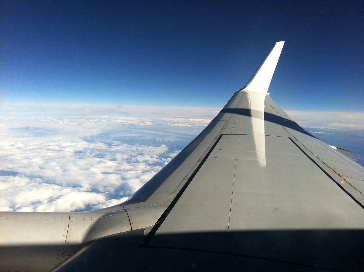
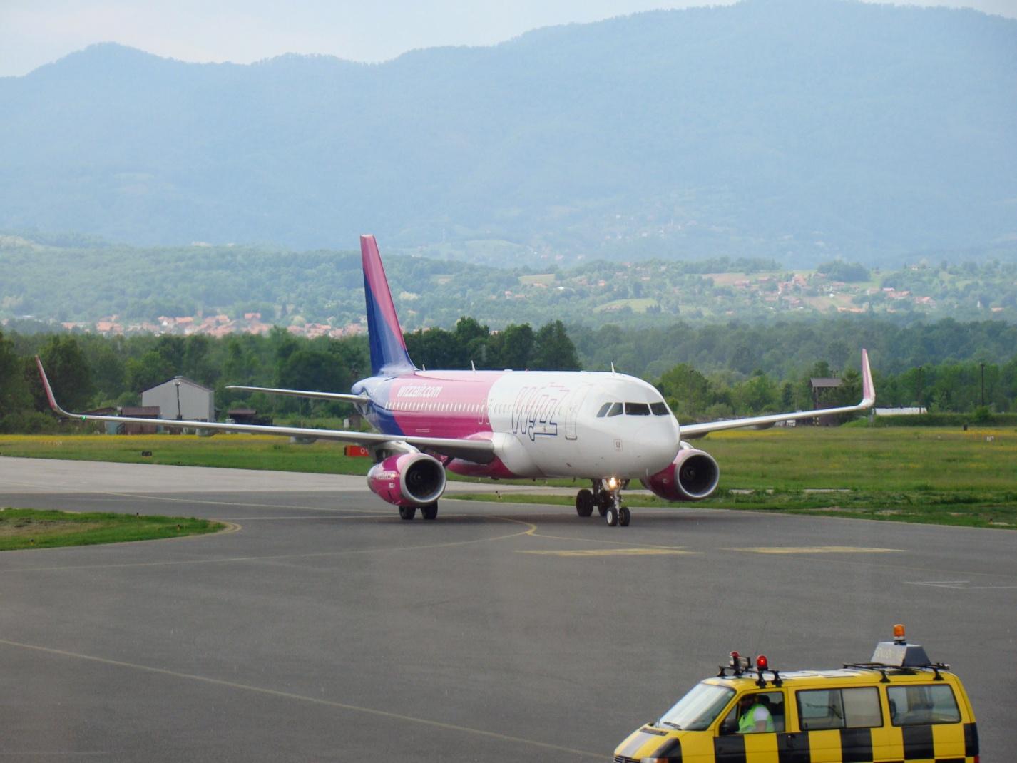
Also, there are special flight tracking programs. They help a lot to reassure those who are waiting for the arrival of their friends or relatives at the airport. In addition, they are interesting for those who want to know the route and the specific position of the aircraft.
So, here’re a few flight tracking services that come in handy when traveling.
Table of Contents
FlightAware
This is an application with full-screen maps on which planes move in real-time and even have a weather forecast built according to modern weather radar.
All the necessary information is available about airplanes:
- flight status;
- departure, arrival and schedule changes;
- information on connecting flights;
- the route, photo of the aircraft itself;
- its GPS coordinates.
In terms of the information available, this seems to be the best option among the free ones.
FlightAware allows you to see interesting statistics: the number of flights currently being tracked by the program, the number of flights over the past 24 hours and the total number of flights recorded in the database.
You can receive notifications about any flight directly to your smartphone or tablet. You can also find out information about the operation of a certain airport – for example, about the operation of terminals. All the functionality of the application is available on the official website.
Flightradar24
This application is the most popular tracking resource in the world, on which you can find the location of aircraft over the surface of the planet. Unfortunately, the free version of the application is greatly reduced in terms of functions – you can only view the map with moving planes and find out their callsigns and airline name.
The paid version adds the ability to search for specific aircraft (as well as filter search results by the name of the airline company and other parameters), as well as view even more detailed data for each of them: route, speed, altitude, photo and another.
There’s also the opportunity to look at airplanes by using augmented reality technologies – for this you need to point the camera of your smartphone to the sky. In addition, after purchasing a paid application, flight routes and their callsigns will be displayed directly on the world map.
FlightTrack 5
For an affordable price, the app offers just tons of information about everything you want to know. Current aircraft speed? Route and schedule? You can expect many more features!
FlightTrack 5 can even tell you about the free seats onboard and the availability of Wi-Fi, help you find alternative flights in case of cancellation or navigate in the airport terminal itself. The application covers more than 3,000 airports and 1,400 airlines. However, many indicators such as flight altitude are available only for flights to the United States. There are no data in the application on private as well as on charter flights.
The application also has a widget for tracking flights. Moreover, there are even live wallpapers showing real-time aircraft information. In general, FlightTrack 5 doesn’t just track aircraft – it actually helps, and it’s great.

Plane Finder
This is a service that is very similar in its functions to Flightradar24. In the free version, you can only watch the movements of aircraft on the map in real-time and find out their number, as well as the name of the airline.
Note that the application itself works while being much faster than the analog. Unfortunately, you will have to pay for other functions.
After the purchase, the application turns off advertising, and complete information about each flight and the ability to search (by flight number, its call sign or aircraft registration number) is added. Also, users get the opportunity to add their own photographs of aircraft.
Find my Plane
A fairly simple application compared to others, which, however, should satisfy your impatience. You can’t see the general map of aircraft traffic there, but you can find the required flight manually – by its number or by the departure/arrival airports that it visits.
Naturally, at the same time, you can find out all the necessary information like a schedule or data on arrival at a particular airport terminal. Any flight that you are interested in regularly can be bookmarked so that you don’t have to search for it by flight number every time.
Unfortunately, not all flights can be monitored on the map – quite often Find my Plane displays a message like “There is no tracking information for this aircraft”. But you can find out the weather conditions at any airport, information about which is taken from the openweathermap.org site.

RadarBox24
Just like other applications, it shows a map with planes moving along it, and it requires registration for at least some useful information – route, schedule, altitude, etc. The paid version is very similar to Flightradar24 – even augmented reality with the display of aircraft in the sky works the same there.
The developers claim that the coverage of this application in Europe reaches 90%, and in the USA not only standard signals of the ADS-B system are used for such applications, but also the data of radar stations of the Federal Civil Aviation Administration.


